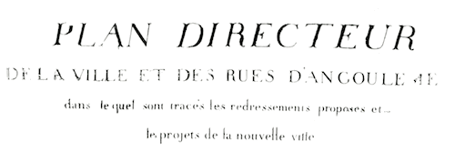
« 1791
PLAN
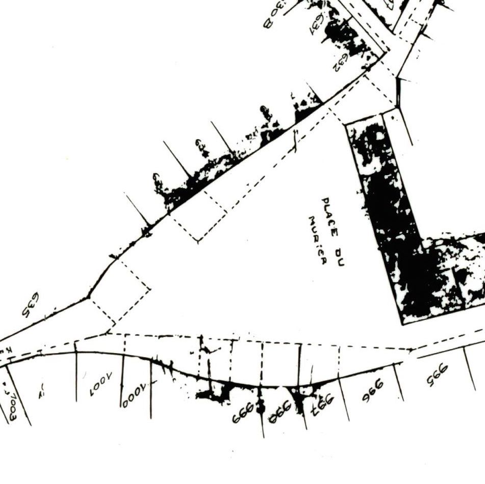
The house numbers in the tax register of 1791 correspond to a remarkable map of the entire central part of the town, the “Plan Directeur” of 1792, showing the names of all the streets and the numbers of all the houses, which now hangs on the wall of the entry to the Archives Municipales d’Angoulême. The reproduction was prepared by the Archives Municipales, to whom the Visualizing Social Networks project is most grateful.