Dinajpur
The largest of all the coal emission sites detected by TROPOMI -- 25.41, 88.73 -- is in an unlikely place. It is far from the old, abandoned heartlands of the industrial and materialist revolutions, in Pennsylvania or Rybnik or Karaganda. The latitude and longitude coordinates are "rough," in the Kayrros data used in the 1800 Histories project; they indicate no more than an area with a radius of 15km. But {25.41, 88.73} is itself, or so it seems, a village in the north east of West Bengal, Chak Gangaprasad, with a population of 110 people and "about 26 houses." It is in the Kumarganj subdivision of the Dakshin Dinajpur district, in a forested area close to the banks of the Atrai River; the local attraction is the Kumarganj Forest Football Playground.
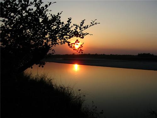
 The little community of Chak Gangaprasad is nestled within the long political history of the British empire in India, with its many partitions and its enduring afterlife. Dakshin (or south) Dinajpur is a frontier region, on the armed and erratic border between India and Bangladesh. It was separated in 1992 from the district of Uttar (or north) Dinajpur, with which it had earlier constituted the district of West Dinajpur. West Dinajpur had itself been separated, in the 1947 partition of Bengal, from the district of East Dinajpur in East Pakistan, and, since 1971, in Bangladesh. Even the Atrai river -- the once mighty Atreyee River of the Mahabarata, now dying from pollution and increased temperature -- is the occasionally contested border between India and Bangladesh, demarcated, since 2009, by 33 pillars in the "no man's land" of the river bed.
Chak Gangaprasad is nestled, too, within the industrial history of the British empire in India. The East India Company capture of Bengal, Bihar and Orissa in the 1760s was populated, in part, by officials with aspirations of returning home to develop their own coal mines in Fife or Alloa. Coal mining in British India began in 1775 in Raniganj in Bengal, and expanded over the following century across the "Gondwana coal fields" of eastern India. The southern part of Bihar (now Jharkand) and the central regions of Bengal were the sites of multiple coal ventures: the Raniganj coal mine developed starting in 1832 by Dwarkanath Tagore (the grandfather of Rabindranath Tagore), and the ever-burning Jharia mine, starting in 1895. The "conjecture" of nineteenth-century geologists that the coalfields might extend even further to the east, into the Ganges delta, was confirmed in the 1960s, when coal was found in the northwest of East Pakistan. It was this coal that became the basis, in the early years of Bangladesh, of the Dinajpur coal industry, and the Barakupuria coal mine.
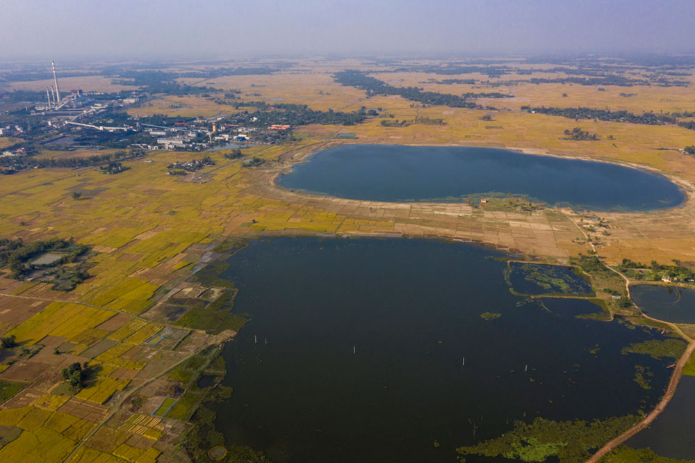
It is the Barakupuria mine, just across the Atrai river and the international border from the little village of Chak Gangaprasad that is the most plausible source of the ultra emissions -- 408 tons of methane per hour -- that were seen from the skies by TROPOMI on April 5, 2020. But Barakupuria, with its subsiding land and vanishing rivers, its toxic metals in mine waters, its prospects for underground coal gasification, its fly ash and arsenic and heavy metals, its Chinese investment and its crowded conditions (as when 125 Bangladeshi and 50 Chinese officials tested positive for COVID-19), its High Court indictments and its spectacular disappearance of 148,000 tons of coal, is another story. Or many stories.

